.png)
W I R E G R A S S
HISTORIC LAND & PROPERTY RECORDS
CADASTRE
ca•das•tre \ kə-ˈda-stər \ noun
documentation of land ownership,
typically for purposes related to taxation.
ca•das•tre \ kə-ˈda-stər \ noun
documentation of land ownership,
typically for purposes related to taxation.
Cadastral records are supremely valuable resources for historical and genealogical research, but remain some of the least widely understood and most underutilized types of sources among researchers. Governmental publications such as county property tax digests, plats of survey, land deeds, etc., are only minimally indexed in major repositories and databases, typically providing little more than names, which can make them seem less useful than they are.
Tax lists and property records contain a wealth of unique, and often quite detailed information about the people of the past, which can not only provide specific information about their property holdings and residence location, but can also provide invaluable insight and perspective into their lives, their family's circumstances, and their place in society.
We hope to use this page to facilitate a better awareness and more clear understanding of cadastral history and land records, which are of particular importance for research in the Wiregrass South, due to the region's unique system of Land Lot Districts in partitioning land, as opposed to the more common federal ('Range-and-Township') system, utilized in much of the country.
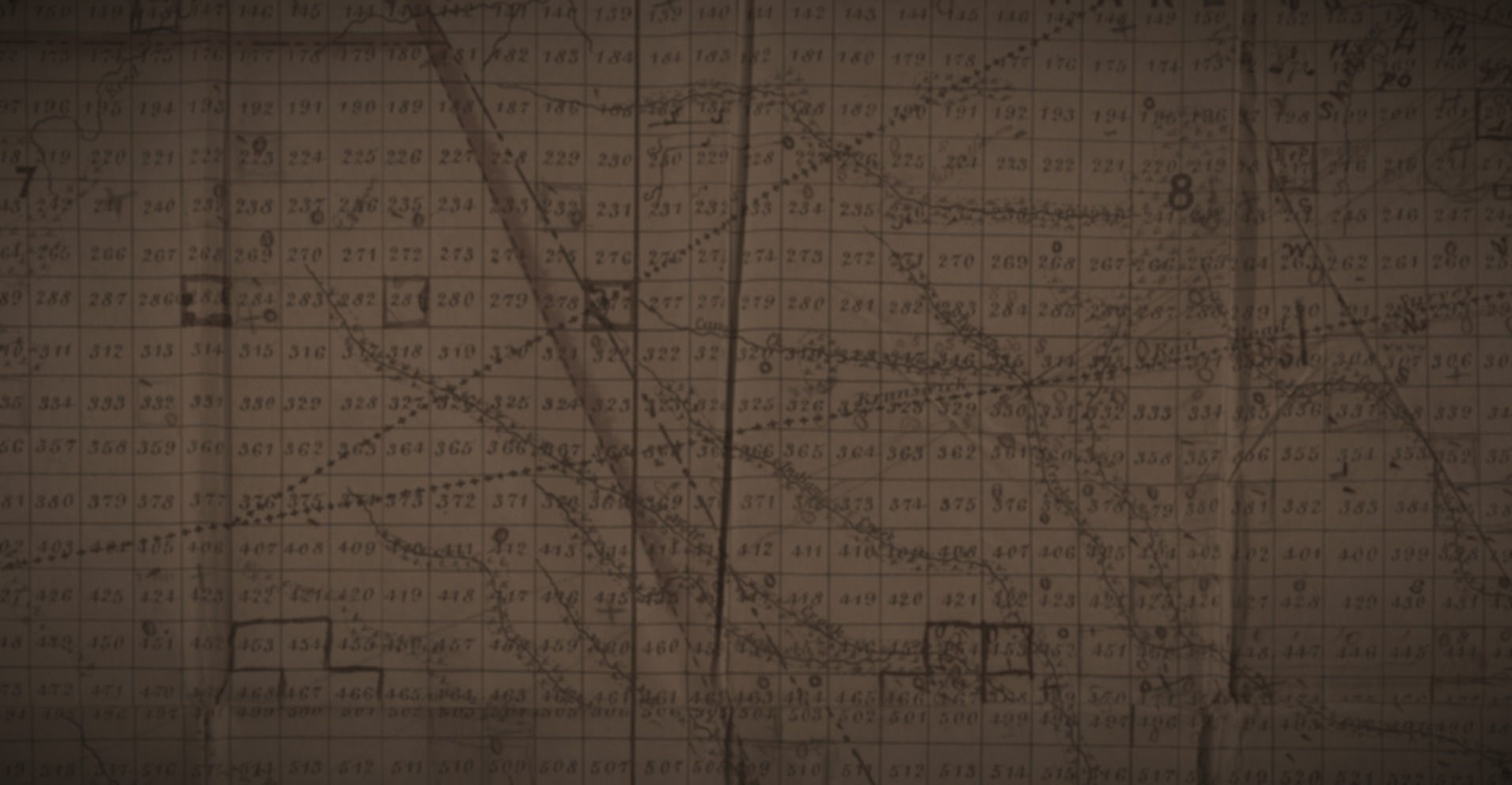
Currently, work is being done to transcribe the full property tax digests of some South Georgia counties, beginning with Coffee and Ware, 1885 to 1890, to be used a supplementary reference guide to historical cadastral maps, such as Thomas B. Marshall's 1891 Map of Coffee County, which depicts land lot boundaries, as well as the names and residences of all property owners in the county in 1891. The map has been the focus of an ongoing project at Craigue & Co. to create a digital version over modern satellite imaging, showing the precise locations of homes, land lots, and other features illustrated in the map. The Marshall Map Project is nearing completion, with almost all features georeferenced and digitally mapped, and we hope to publish it online in the near future.
WIREGRASS REGION DIGITAL HISTORY PROJECT
Volunteer-based effort to document and preserve Wiregrass history. The site is continually updated, and contains articles, digitized historical documents, maps, and photographs relevant to the history of the Wiregrass Region.